| Image | Name | Summary | Price | Buy |
|---|---|---|---|---|
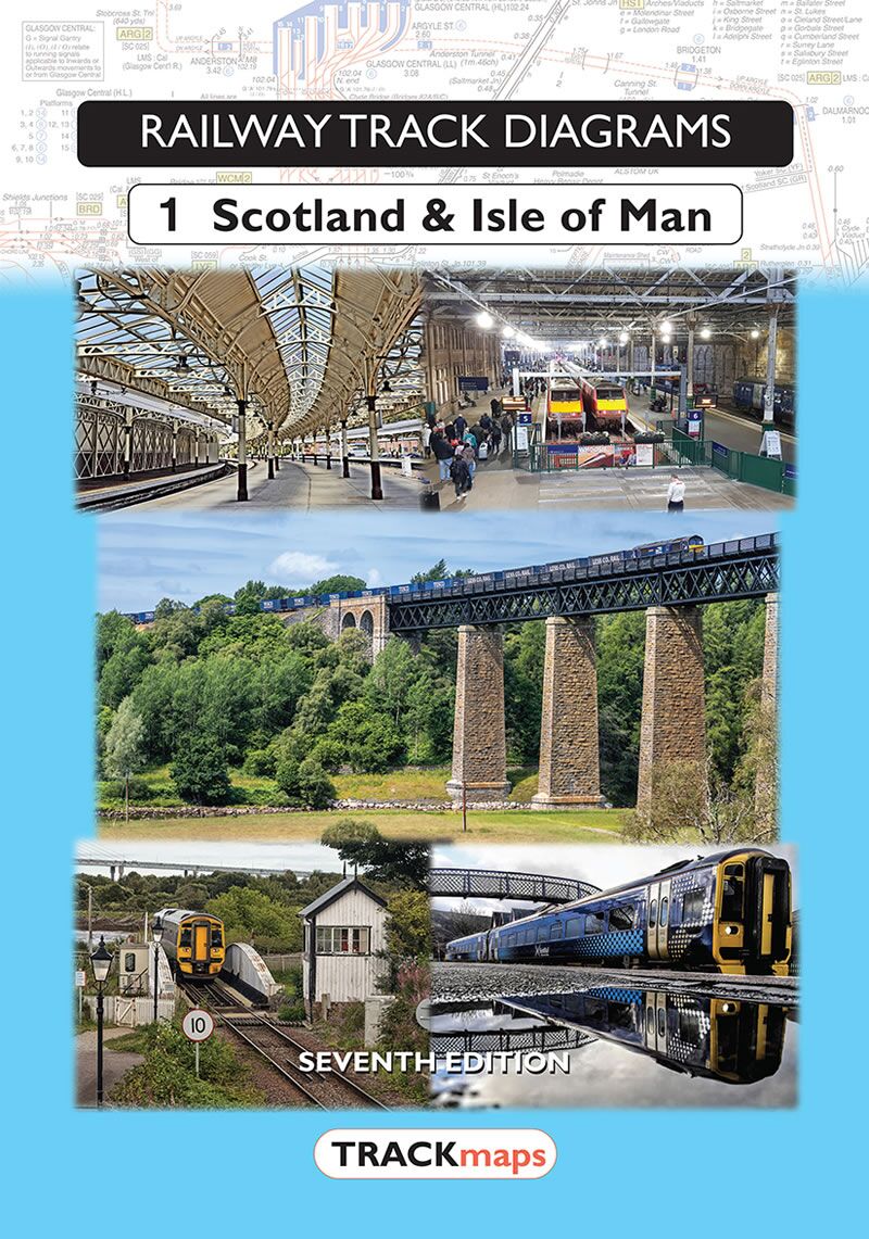
| Book 1: Scotland & IoM | Book 1: Scotland & IoM covers the network north of the Border (generally as Network Rail’s Scotland Route), the railways of the Isle of Man and various Heritage lines. It also includes the SPT Subway in Glasgow and Trams in Edinburgh. Now in 7th edition, the maps are up to date as at the end of Decmber 2021. | £14.95 | ||
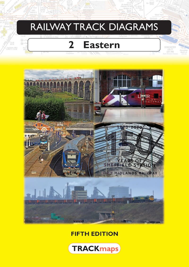
| Book 2: Eastern | Book 2: Eastern covers the network on the eastern side of Britain from London northwards to the Scottish Border. It includes the areas generally as Network Rail’s LNE and East Anglia Routes together with public service light rail Metro in Newcastle and SuperTram in Sheffield plus a number of Heritage and leisure lines. Now in 5th edition, the maps are generally up to date at the end of September 2020. | £15.95 | ||
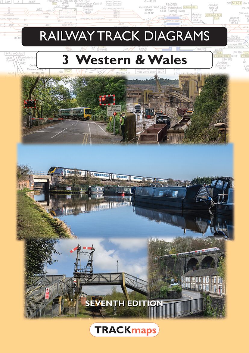
| Book 3: Western & Wales | Book 3: Western & Wales covers covers the network from Paddington into the West Country and the lines throughout Wales. It includes the Core Valley lines maintained by Transport for Wales and also Crossrail from Westbourne Park to Pudding Mill Lane and Abbey Wood. Now in 7th edition, the maps are generally up to date at the end of September 2023. | £16.95 | ||
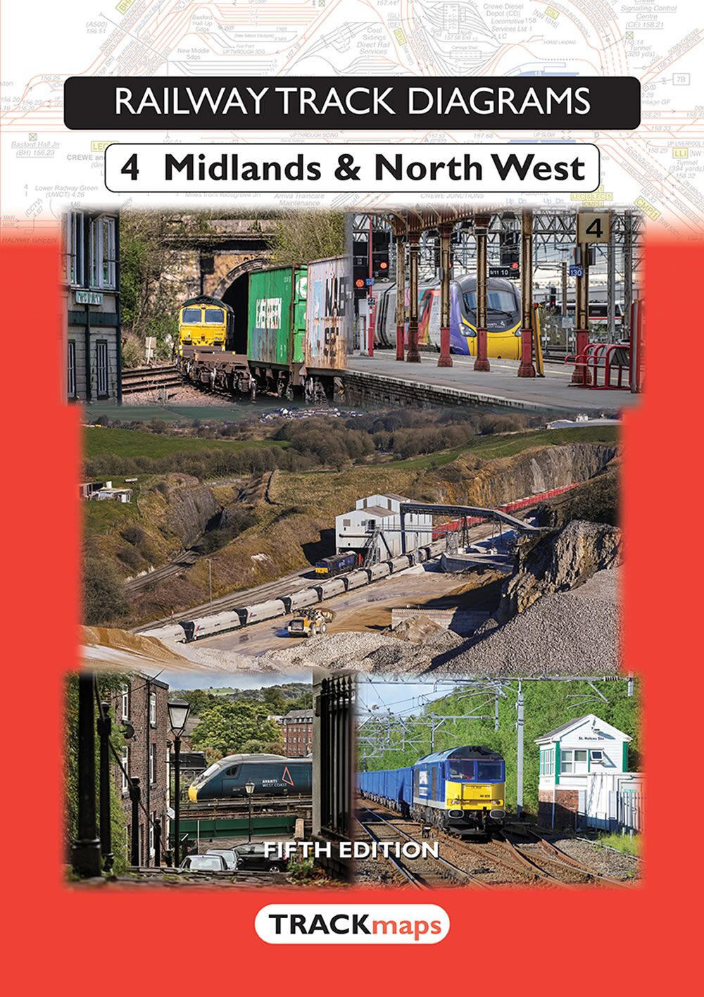
| Book 4: Midlands & North West | Book 4: Midlands & North West covers the West Coast Main Line from London to the Scottish border and other lines forming the North West & Central Region and East Midlands Route of Network Rail. It includes the tram systems in Birmingham, Manchester and Nottingham together with a number of Heritage lines. It also includes the Chiltern lines (transferred from Book 3) but excludes the North Wales and Cambrian lines (which now appear in Book 3). Now in 5th edition, the maps are generally up to date as at the end of October 2022. | £17.95 | ||
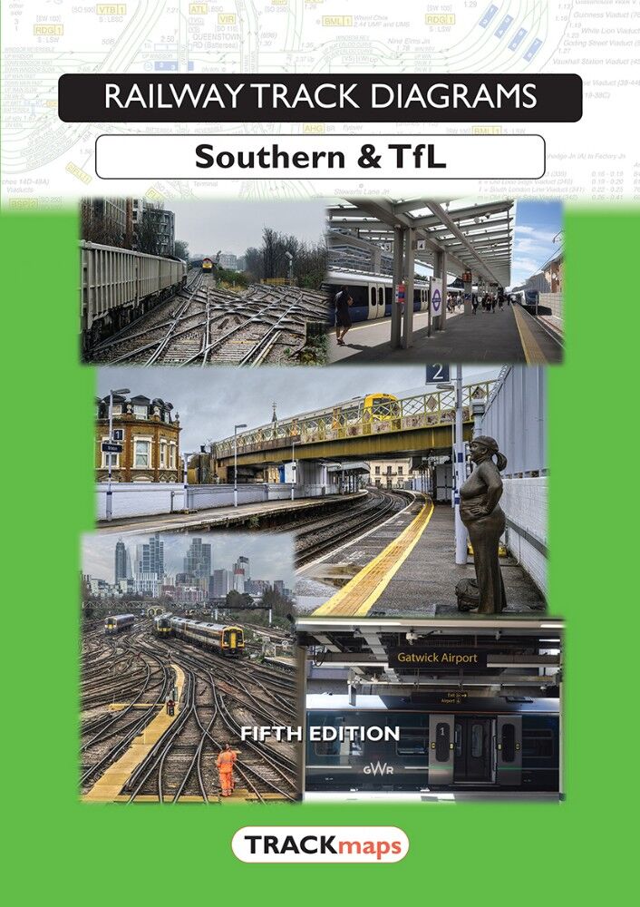
| Book 5: Southern & TfL | Book 5: Southern & TfL covers the area of Network Rail’s Southern Region, TfL’s Overground, Underground & London Trams and the Docklands Light Railway. This edition also includes the Channel Tunnel Rail Link (HS1) and Eurotunnel in their entirety from St Pancras to Calais, as well as the Elizabeth Line and a number of Heritage and leisure lines. Details are generally up to date as at the end of August 2024. | £17.95 | ||
| Book 6: Ireland | The book covers all the railways of Ireland including the 3’ 0” gauge Bord na Móna, the LUAS in Dublin and certain private and leisure railways. This 2nd edition is out of print. A 3rd edition is planned. | £5.50 | ||
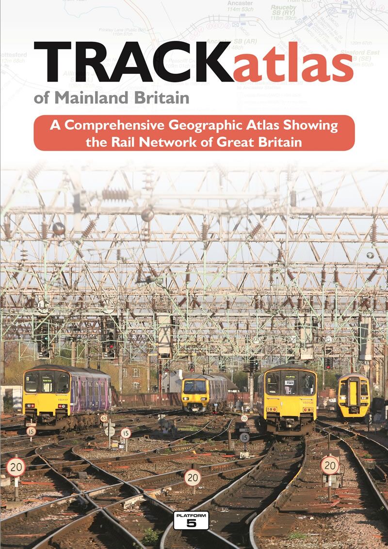
| TRACKatlas of Mainland Britain | The second edition includes:
| £27.95 |
